
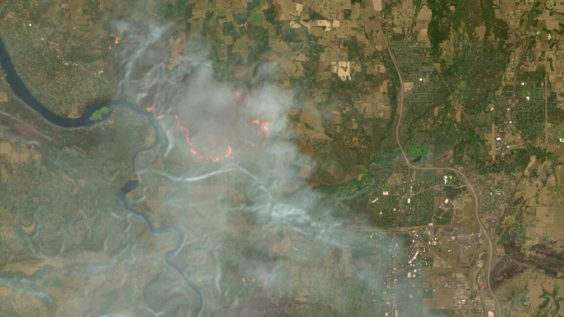
The wildfires afflicting communities across the world can now be tracked more easily by anyone using Europe’s free and open satellite imagery service—all thanks to a wildfire visualization script originating from nearly a decade ago.
The Copernicus Browser provides free access to the latest satellite imagery taken by the European Space Agency’s Sentinel satellites for the European Union’s Earth observation program. The three satellites of the Sentinel-2 mission have proven especially useful for wildfire monitoring by providing multi-spectral imaging at resolutions as granular as 10 meters in visible light and near-infrared bands—and the Copernicus Browser previously offered 10 default visualization layers using different combinations of spectral bands.
Now Copernicus Browser has also added a straightforward “wildfires” visualization layer for Sentinel-2 imagery that went live on August 4. Anyone clicking on this layer while looking at a wildfire location can see active fires in white or yellow, burning vegetation in red, and burned landscapes in dark brown or black.
Users could previously add this script manually to Copernicus Browser sessions by copying and pasting it using the custom visualization option under the default layers.
But Simon Proud, mission scientist for Sentinel-2 at the European Space Agency, pushed to get the script integrated into Copernicus Browser as a default option. He announced that the integration had finally happened in a Discord channel on a server run by the investigative journalism group Bellingcat.
There are other existing and emerging satellite constellations capable of detecting and monitoring wildfires and wildfire smoke. NASA’s FIRMS tool provides free access to a global map of fires detected by NASA satellite sensors and is rapidly updated within several hours—although such NASA satellite imagery is only available in coarser resolutions down to 250 meters.
By comparison, the Sentinel 2 satellite imagery is updated every few days but provides much higher resolution imagery in certain bands down to a 10-meter spatial resolution. That makes it arguably the best free and publicly available tool for delivering higher-resolution satellite imagery of everything from wildfires to war zones.
Unfortunately, there is no shortage of wildfires to keep an eye on across the world as climate change exacerbates traditional wildfire seasons. Much of Washington and Oregon is experiencing wildfires and smoke, Canada’s wildfire season is on track to be one of the country’s worst, and firefighters continue to battle blazes in France and Spain, where hundreds of thousands of people have evacuated during a record-breaking wildfire season.